Community
Getting Around Canberra: Light Rail & MyWay Card
Navigate Canberra's light rail, cycling network, and MyWay smart card. Your complete guide to public transport and active travel in Australia's capital.
2 min read
Updated 6 h ago
Community
Navigate Canberra's light rail, cycling network, and MyWay smart card. Your complete guide to public transport and active travel in Australia's capital.
2 min read
Updated 6 h ago
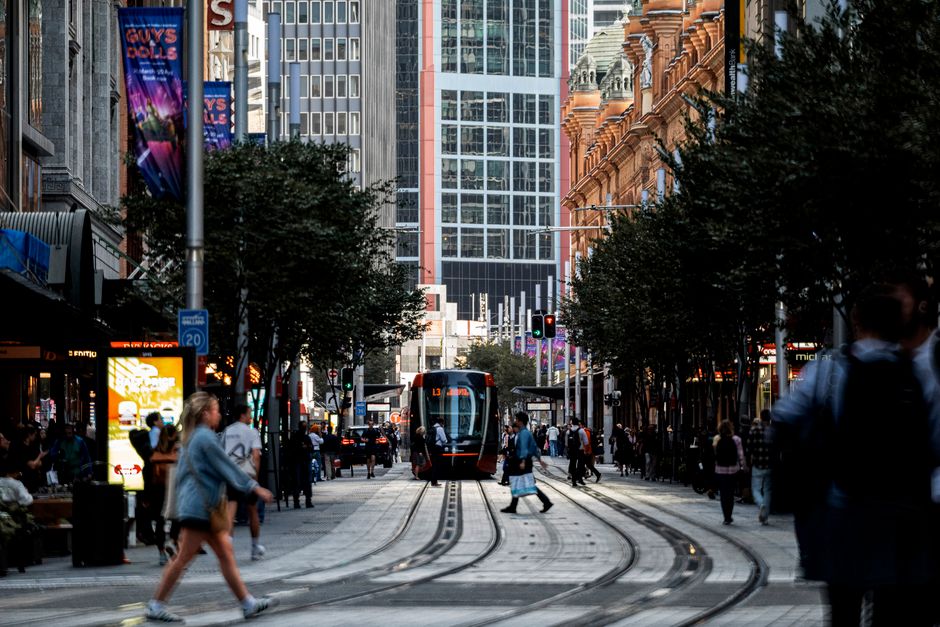
Canberra is one of Australia's most car-dependent cities (the planned garden city's generous road network and dispersed suburban layout was designed for private vehicle travel in the 1960s-1970s), but the city's transport landscape is changing rapidly with the ACT government's significant investment in the Canberra Metro light rail network and the extraordinary cycling infrastructure that has made Canberra Australia's most cycle-friendly capital city. The Canberra Metro Stage 1 (Gungahlin to City, 12km, 13 stops, opened 2019) and Stage 2 (City to Woden via Commonwealth Avenue, under construction) together with the Rapid bus network and the ACTION bus services provide the backbone of Canberra's public transport system. The MyWay card (ACT's tap-on tap-off smart card) and the MIGO app provide digital access to Canberra's public transport ticketing system.
Canberra Metro Light Rail — the Canberra Metro Stage 1 (Gungahlin Town Centre to the City Interchange at Alinga Street, Civic) is one of Australia's most successful modern light rail implementations, with high-quality vehicles (CAF Urbos 3 trams), excellent infrastructure, and strong ridership growth since opening in 2019. The Stage 1 route serves the major activity centres of Gungahlin (the ACT's fastest-growing district), Dickson, and the City, providing a fast and reliable alternative to driving the Northbourne Avenue corridor. Stage 2A (City to Commonwealth Park via London Circuit) and Stage 2B (Commonwealth Park to Woden via Commonwealth Avenue and the Parliamentary Triangle) are under construction or in planning and will extend the light rail's coverage to Canberra's southern suburbs.
Cycling: Australia's Best Urban Network — Canberra has been consistently ranked as Australia's most bike-friendly capital city, with an extraordinary 180km+ network of sealed shared-use paths (the main-path network connecting all of Canberra's town centres), the famous Lake Burley Griffin circuit (35km path around the lake, passing the major cultural institutions and national monuments), and the excellent mountain biking at Stromlo Forest Park and the Majura Pines. Cycling to work or to the shops is genuinely practical in Canberra, with the path network providing safe, car-free routes between most residential areas and employment centres.
This article was compiled by AI and screened before publishing. See our editorial standards.
About this article
Published by The Daily Canberra
Spread the word
Daily brief
Free, in your inbox before 7am. Weekdays.
The Daily Network — local news across Australia