Wellness
Canberra's best walking trails, rated by distance and difficulty
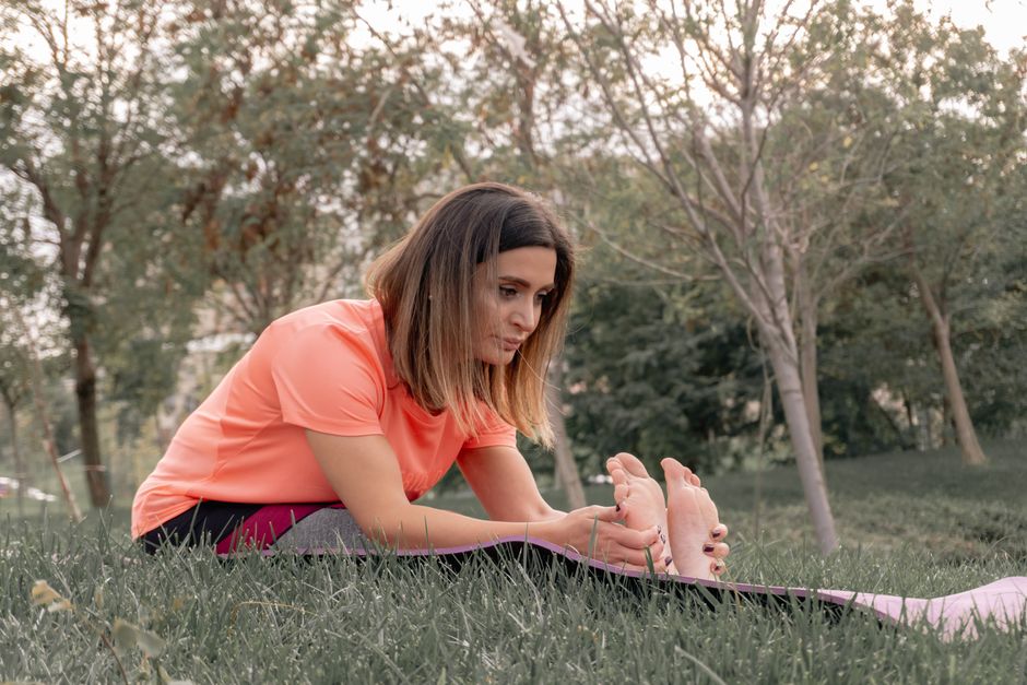
From a flat lakeside loop to a lung-burning ridge climb, here's where to put your boots on the ground this winter.
4 min read
Wellness
From a flat lakeside loop to a lung-burning ridge climb, here's where to put your boots on the ground this winter.
4 min read

Canberra has more than 250 kilometres of dedicated off-road walking and cycling trails within the ACT boundary, and yet most residents default to the same kilometre of Lake Burley Griffin foreshore. A closer look at what's actually out there — rated honestly by distance and how hard they'll make you work — reveals a city with far more interesting terrain than its flat parliamentary triangle suggests.
July is, counterintuitively, one of the best months to walk here. Daytime temperatures hover between 9 and 12 degrees, the low humidity makes sustained effort comfortable, and the tourist crowds that clog popular Namadgi trailheads in summer have largely vanished. ACT Parks and Conservation Service data shows trail-use registrations at Namadgi National Park entry points drop by roughly 40 per cent between December and July, meaning the mid-winter walker often has the bush almost entirely to themselves.
Start easy. The full circumnavigation of Lake Burley Griffin covers 35 kilometres, but most people cut it into manageable sections. The Commonwealth Park to Yarralumla Bay stretch — roughly 8 kilometres return from the Rond Terraces car park on Parkes Way — is sealed, essentially flat, and accessible to anyone with a pair of sneakers. Difficulty: 1 out of 5. The path passes the National Carillon on Aspen Island, skirts the gardens of Government House, and returns along the Kings Avenue bridge footpath. parkrun Tuggeranong holds its free Saturday 5km event at Tuggeranong Town Park each week at 8am, offering a structured alternative for those who want company and a time on the clock.
Step up one level to the Jerrabomberra Wetlands circuit, accessed off Dairy Flat Road in Fyshwick. The 3.5-kilometre loop is unpaved gravel, occasionally muddy in July after rainfall, and mostly flat with one short rise near the bird hides. Difficulty: 2 out of 5. The wetlands sit within five minutes of the CBD and are managed by the ACT Government in partnership with BirdLife Australia's Canberra region group. Expect to see chestnut teal, royal spoonbills, and in cold snaps, visiting black-fronted dotterels.
Black Mountain Reserve, directly behind the CSIRO campus on Clunies Ross Street in Acton, offers the most accessible moderate climb in the urban area. The Sulwood Drive to Summit Trail circuit is 6 kilometres with 240 metres of elevation gain. Difficulty: 3 out of 5. The fire-trail surface is wide and well-maintained but the final push to the telecommunications tower summit is steep enough to require deliberate pacing. University of Canberra researchers published a 2024 study in the Australian Journal of Primary Health finding that 30 minutes of moderate-intensity hill walking three times a week produced measurable improvements in cardiovascular markers in adults aged 45 to 65 — the kind of outcome the Black Mountain summit trail was practically designed for.
For those ready to commit to something serious, the Mount Tennent Track in Namadgi National Park is the ACT's most rewarding day walk. The trailhead sits at the Namadgi Visitor Centre on Naas Road, Tharwa, 40 kilometres south of the CBD. The return route is 14 kilometres with 900 metres of climbing. Difficulty: 4 out of 5. Allow five to six hours and carry at least two litres of water; there is no reliable source on the upper ridge. The summit at 1375 metres delivers views across the Brindabella Ranges and, on clear winter days, as far south as the Snowy Mountains. ACT Parks requires no permit for day walks in Namadgi, though self-registration at the visitor centre kiosk is strongly encouraged — it costs nothing and means someone knows you're out there.
Anyone with existing health conditions, joint issues, or who hasn't exercised regularly should check in with their GP or a physiotherapist before tackling the steeper options. ACT Health's GP clinics across Belconnen, Gungahlin, and Tuggeranong all offer exercise planning referrals. Beyond Blue's ACT counselling line (1300 22 4636) is also available for anyone finding that winter inertia is about more than just cold mornings — exercise and mental health are closely linked, and sometimes the hardest part of any trail is simply lacing up and leaving the house.
Wellness

Wellness

Wellness

Wellness
About this article
Published by The Daily Canberra
Spread the word
Daily brief
Free, in your inbox before 7am. Weekdays.
The Daily Network — local news across Australia